2D Orthophotos
HIGH-RESOLUTION AERIAL IMAGERY THAT GIVES YOU EVERY DETAIL
What is an orthophoto?
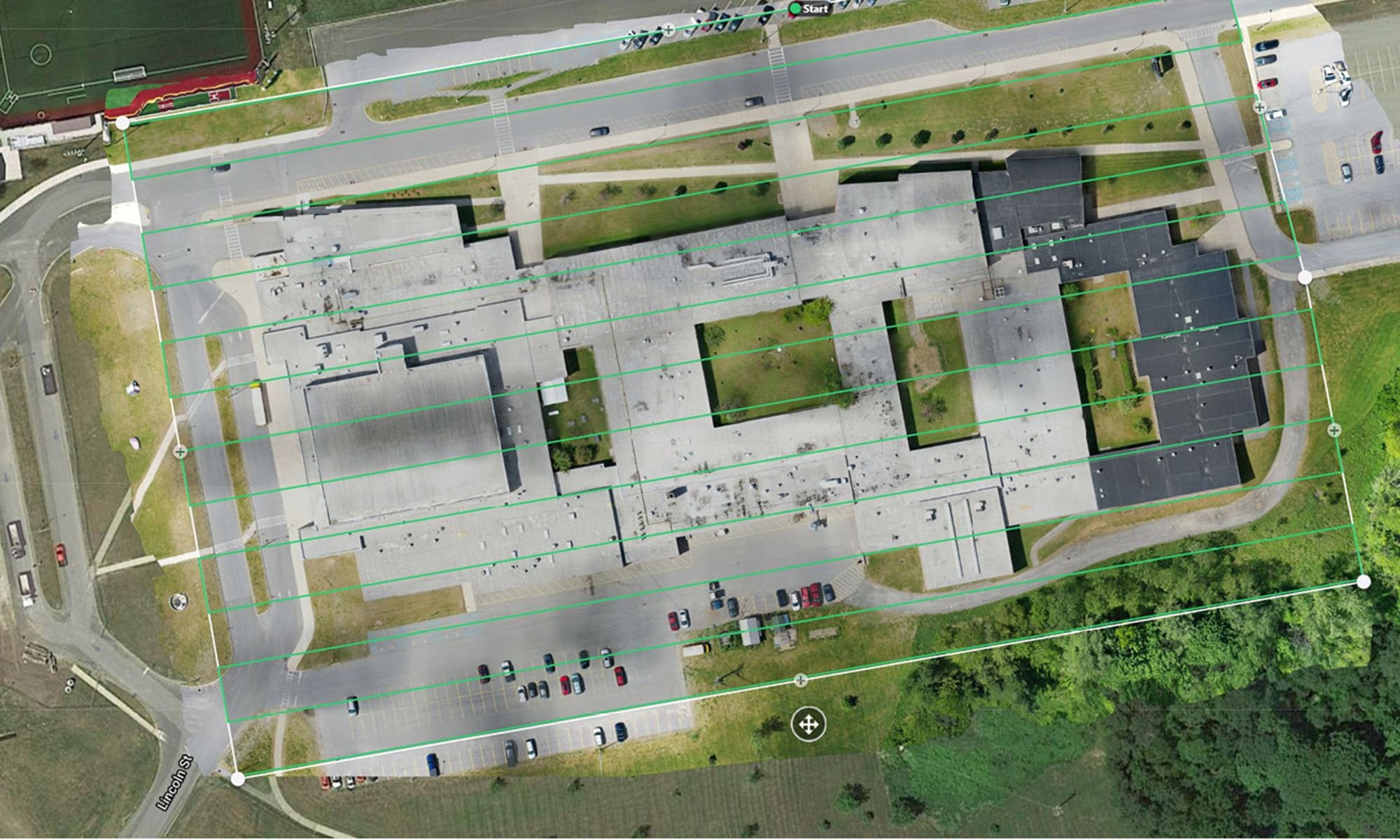
An orthophoto is a series of highly detailed aerial photographs that have been geometrically corrected to ensure uniform scale and accurate representation of the Earth's surface. This correction removes distortions caused by the camera angle, elevation, and terrain, allowing for precise measurements and analysis. The photos are then stitched together to create a large-scale photo that can be used like a map. Mid-South360 can produce orthophotos at any scale, from job sites to entire areas of a city.
Stay Up-to-Date
Know the reality of any space with precise georeferenced images. Refreshed as frequently as your project demands.
SEE SHARPER DETAILS
A ground sampling distance (GSD) of 1.5–2.5cm per pixel means images that are consistently clearer than satellites.
Click here to view Mid-South360’s full-scale orthophoto of this stadium.
see the comparison for yourself
Mid-South360
The Satellite Company
Mid-South360
The Satellite Company
How can we enhance your workflow?
AEC
Harness the power of geospatial intelligence to transform architecture, engineering, and construction (AEC) workflows. Monitor and track progress on your construction site.
Real Estate
Reshape property, real estate, and facility management for a smarter, more sustainable future. Streamline developments, enhance urban planning, and optimize facility maintenance.
Government
Public sector agencies trust us to support their digital transformation across asset management, community planning, public safety, environmental requirements, and more.
Infrastructure
Streamline and strengthen your engineering or construction project with tilted, multi-angle views, and advanced 3D modeling.
Urban Planning
Plan expansion with unmatched bird’s-eye detail. Take your architectural concepts up a tier with our large-scale 3D photogrammetric modeling.
Environmental
Protect and safeguard the world around us with models to analyze and track landscape evolution or changes.


