Professional site documentation, from every angle.
Mid-South360 helps owners, architects, contractors, and engineers save time, reduce site visits, and improve communication. From start to finish, throughout every phase of your project, Mid-South360 will provide comprehensive site documentation and data. From pre-planning, increasing efficiency, progression monitoring, aerial inspections, and more.
As-built documentation
Condition assessments
Design/risk assessments
Concept/detailed design
Construction planning
Scan-to-CAD/BIM files
Estimation
Progress monitoring
QA/QC
Issue & RFI coordination
Work package sign off
Milestone documentation
Safety Training
Closeout documentation
FM database
Spec/Warranty documentation
Building/asset promotion
On the Ground Services
-
Description text goes here
-
Mid-South360 will create an .E57 file containing a high-density point cloud for all scan locations in your project space. It contains point cloud, pano images, and metadata from each scan location. The file format, .E57, is a compact, vendor-neutral point cloud format that’s defined by the ASTM E2807 standard. This format is widely adopted by most 3D design applications, so you can use your digital twin in a wide range of applications, including but not limited to:
Autodesk Recap Pro
Leica Register 360
Leica Cyclone
Faro Scene
Autodesk Revit
Autodesk Navisworks
Autodesk
AutoCAD
Trimble Sketchup
Trimble Forensics
Trimble Business Center
TopCon Magnet
Cintoo Cloud
With the .E57 file:
Architects and designers can conceptualize designs with a detailed understanding of the space.
Project stakeholders and construction teams can collaborate more efficiently.
Building operators can maintain inventories of equipment and assets across a portfolio.
-
Item description
-
Description text goes here
-
Item description
-
Item description
-
Item description
-
Item description
-
Item description
-
Item description
Aerial Solutions for Construction
-

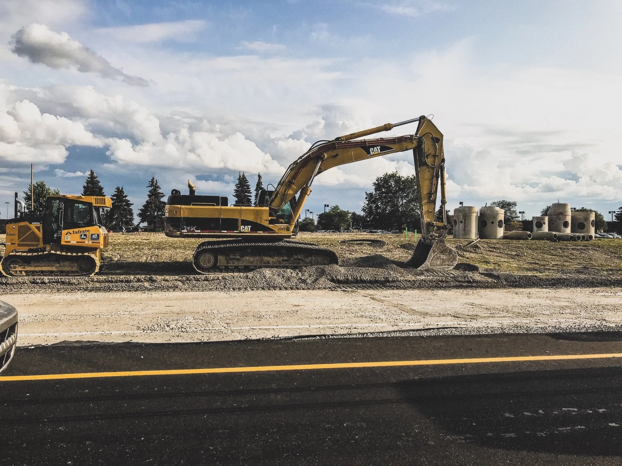
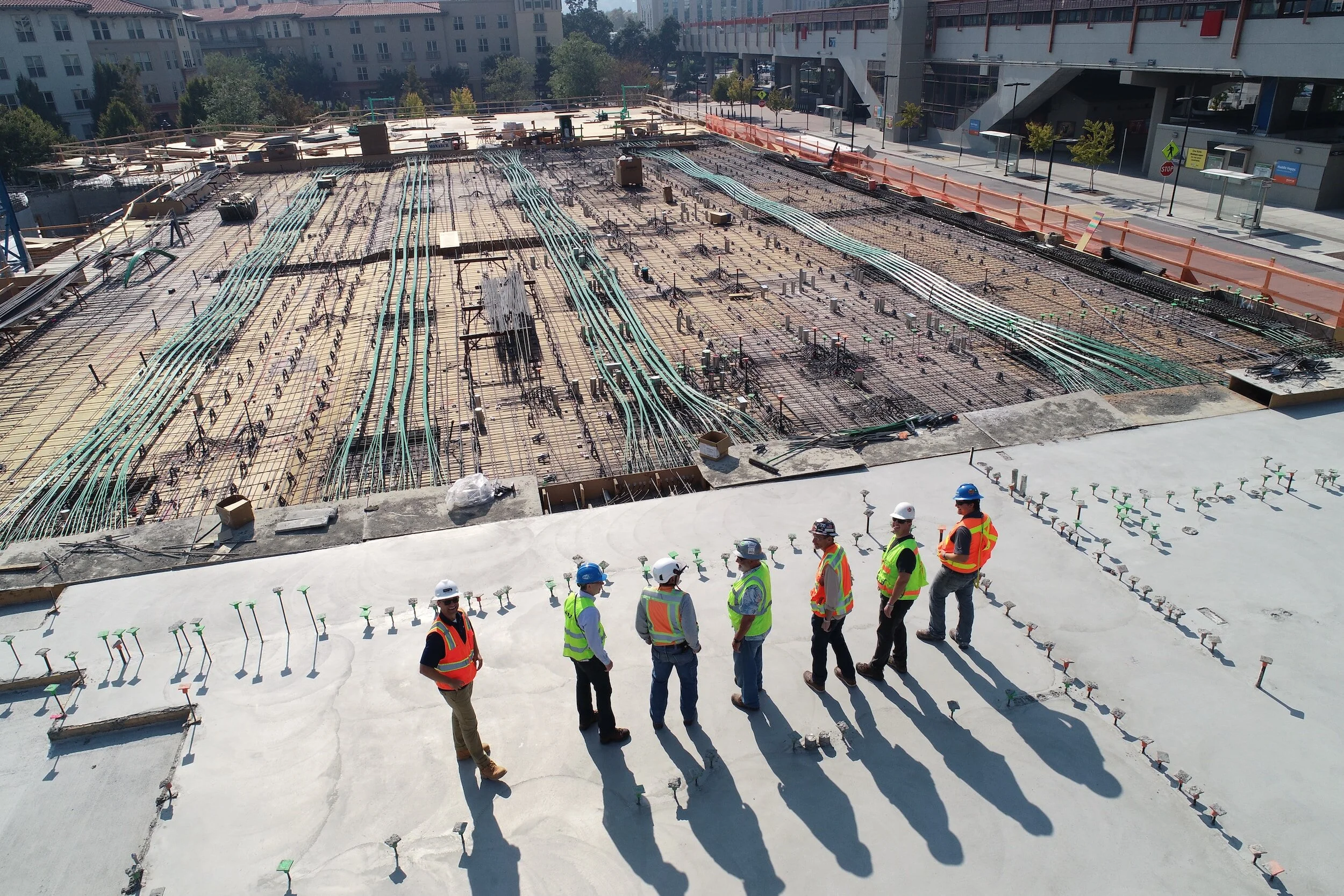
Progress Monitoring
Progress updates provided through aerial drone imagery is a beneficial tool for staying on schedule and in turn keep the project from going over budget. Drone imagery can be shared with project managers as well as stakeholders and investors who are interested in keeping tabs on the project as well. New imagery can be taken monthly, weekly, or daily depending on the speed of building. Special software enables comparison views of multiple data captures. Mid-South360 utilizes DroneDeploy cloud-based software to ensure maximum impact.
-

Inspections
During construction, periodic inspections are mandatory to assure overall project status, safety, and accuracy. Some inspections can be hazardous to workers or become inefficient, resulting in lost time and money. Using drones for these jobs will greatly improve speed and assurance between workers. With the ability to take pictures and video, multiple employees will be able to view the status and easily converse about possible issues.
-

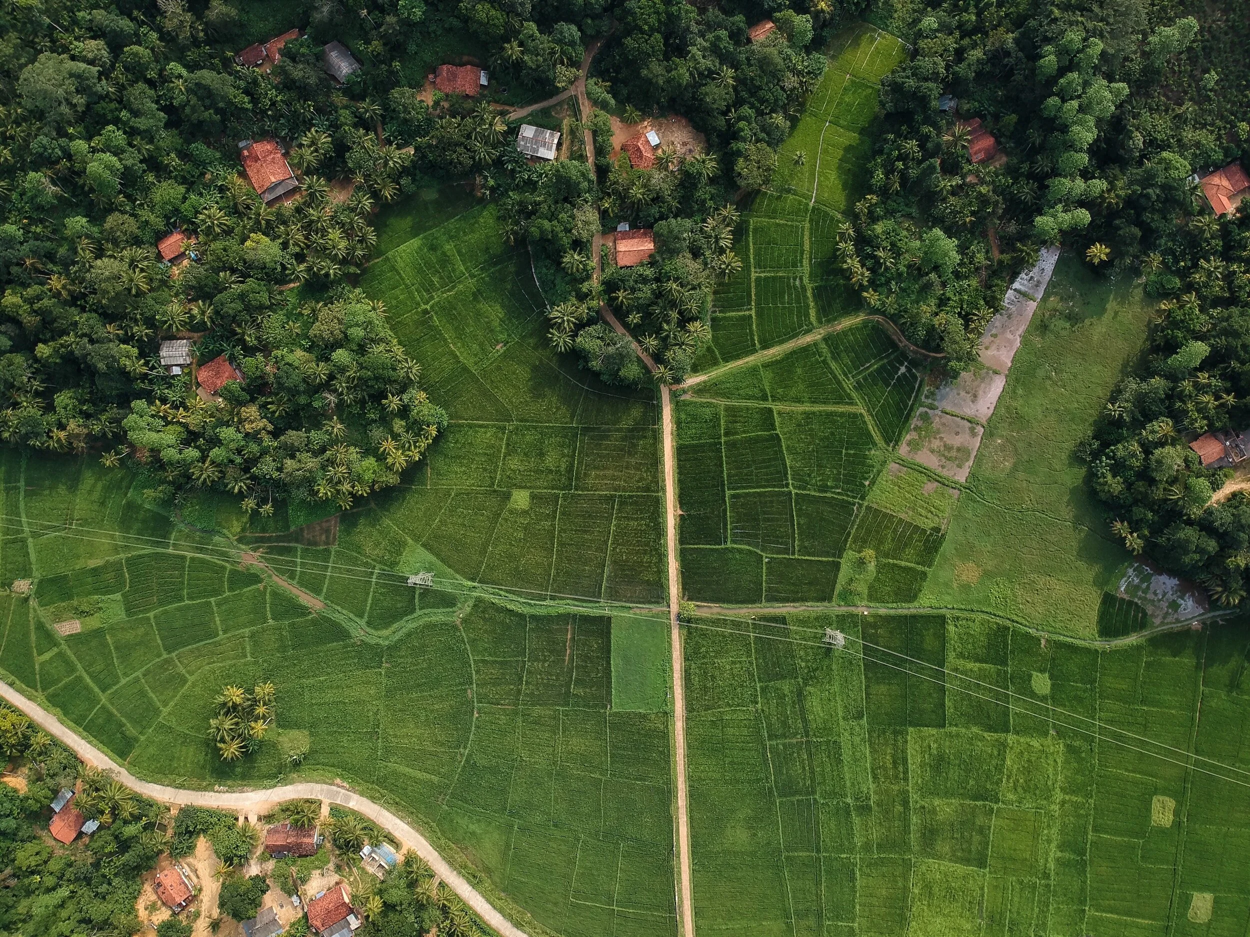
Mapping
Drones can use the visual data they collect to produce multiple types of maps including 3D, orthomosaic, and thermal. Each of these aerial maps have many benefits from pre-planning, monitoring progress, understanding a site’s layout, and more. The level of data and precision drone maps can provide are remarkable compared with widely used satellite imagery.
-
Pre-Planning
Before a shovel hits the ground a site analysis is always required to assure the location is optimal for the proposed project. Visual data from drones is greatly beneficial in achieving an understanding of the land’s overall layout, elevation, drainage spots, vegetation, and more. These images can be used to easily convey messages across to employees or clients.
The Mid-South’s leading construction documentation provider.
Mid-South360’s aerial solutions offer you the opportunity to transform your company operations through state-of-the-art drone technology. Our team consists of highly experienced, qualified, and licensed drone professionals who will personally work with you in achieving your goals.
With industry-leading equipment, unmatched customer service, and value packed deliverables, Mid-South360 is the right partner to help you develop the solutions you need.

Here’s What We Provide
FAA Part 107 Licensed Drone Pilot
Insurance up to $1,000,000
Simple Contracts
Easily Shareable Deliverables
Drone Law and Airspace Knowledge
Professionally Edited Photos & 4K Ultra HD Video
360º Photo & Video Views of Your Entire Site
3D Walk-Through Tours Viewable From Anywhere, Anytime